He inoi ki Maunga Takarunga
Ngā mihi ki tenei Maunga Takarunga mo ta matou wāhi I tona taha.
Ka whakahonoretia a matou tona aroaro me te piringa e whakaratohia ana e ia.
He koa to mātau I te wairua hei wāhanga o te kaupapa e ora nei tatou.
A prayer for Maunga Takarunga (Mount Victoria)
Our thanks to this mountain Takarunga for our place at her side.
We honour her presence and the shelter she provides.
We take joy in the spirit that is part of the kaupapa we live by.
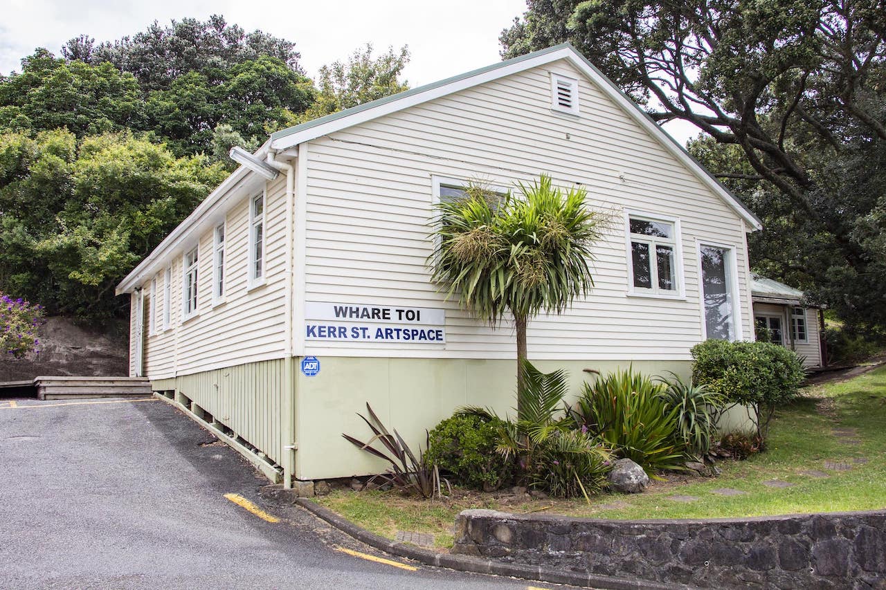
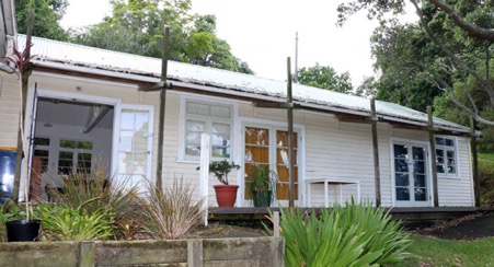
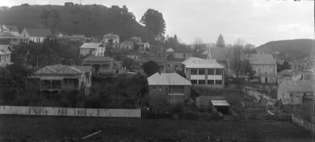
Whare Toi is nestled on the side of Maunga Takarunga (Mount Victoria), the largest of the North Shore volcanic cones and one of 14 now under the care of the Tūpuna Maunga Authority (TMA). DEPOT has been kaitiaki (caretaker) of Whare Toi since 2003.
Its name signifies our relationship with the Maunga Authority, honours our attachment to the maunga and connects with DEPOT’s goal to create sustainable creative futures. We host workshops, art classes, studio space and other community events in this special space.
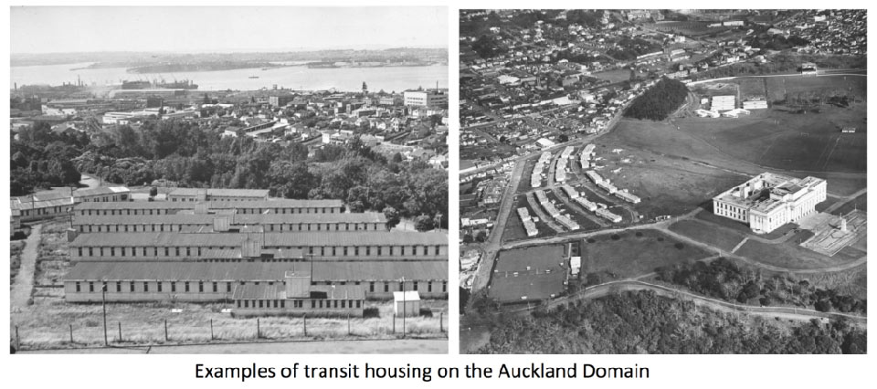
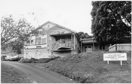
Click here for a detailed history of Whare Toi.
Whare Toi is available for short and long term hire.
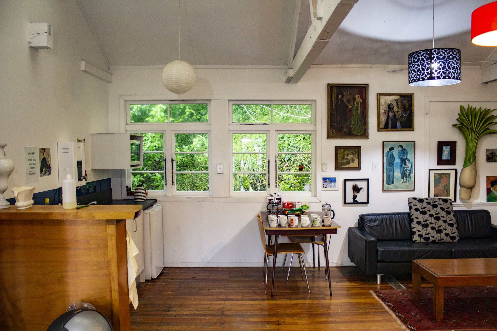
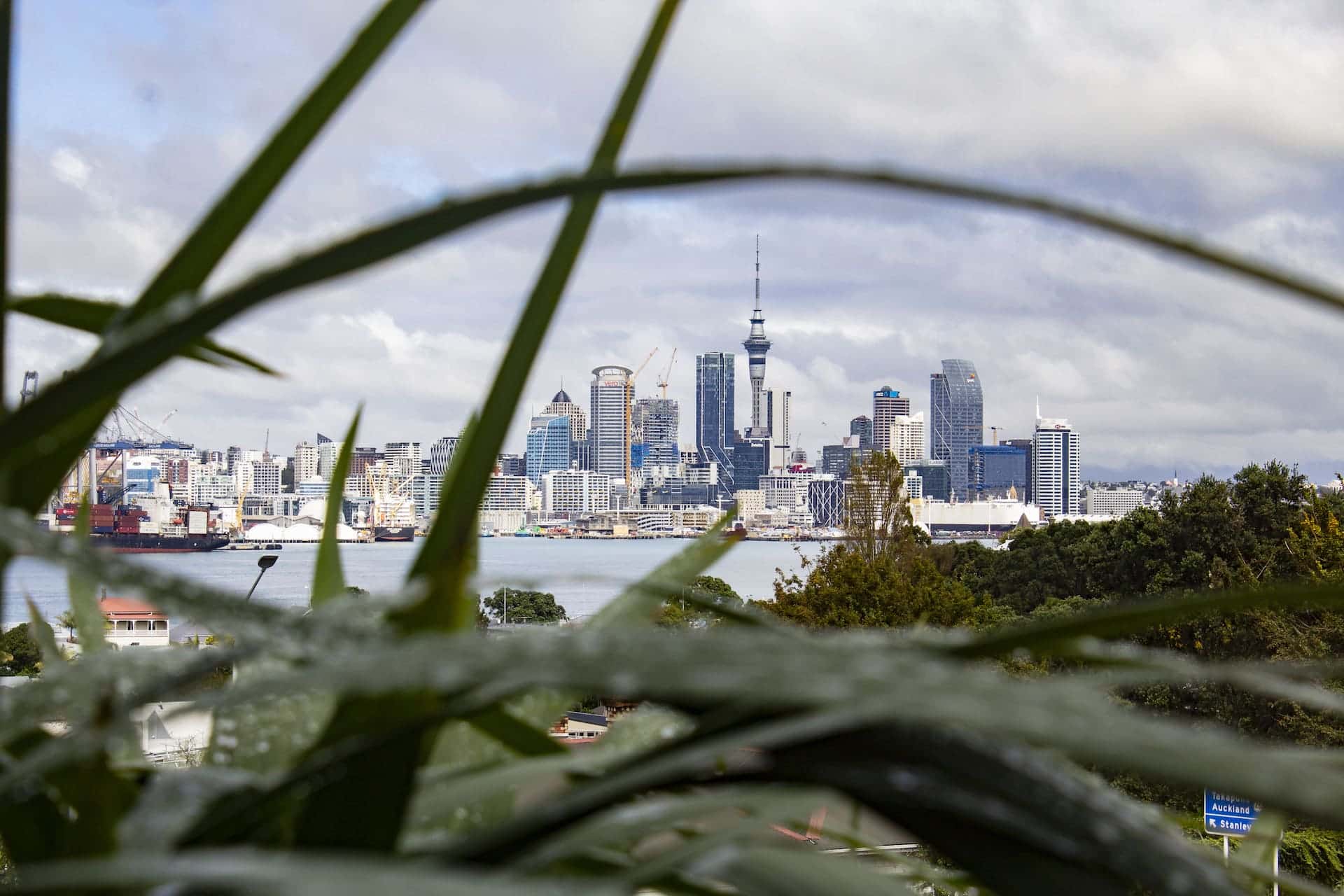
Whare Toi has two spaces, each with a superb view over the Waitematā Harbour to the city.
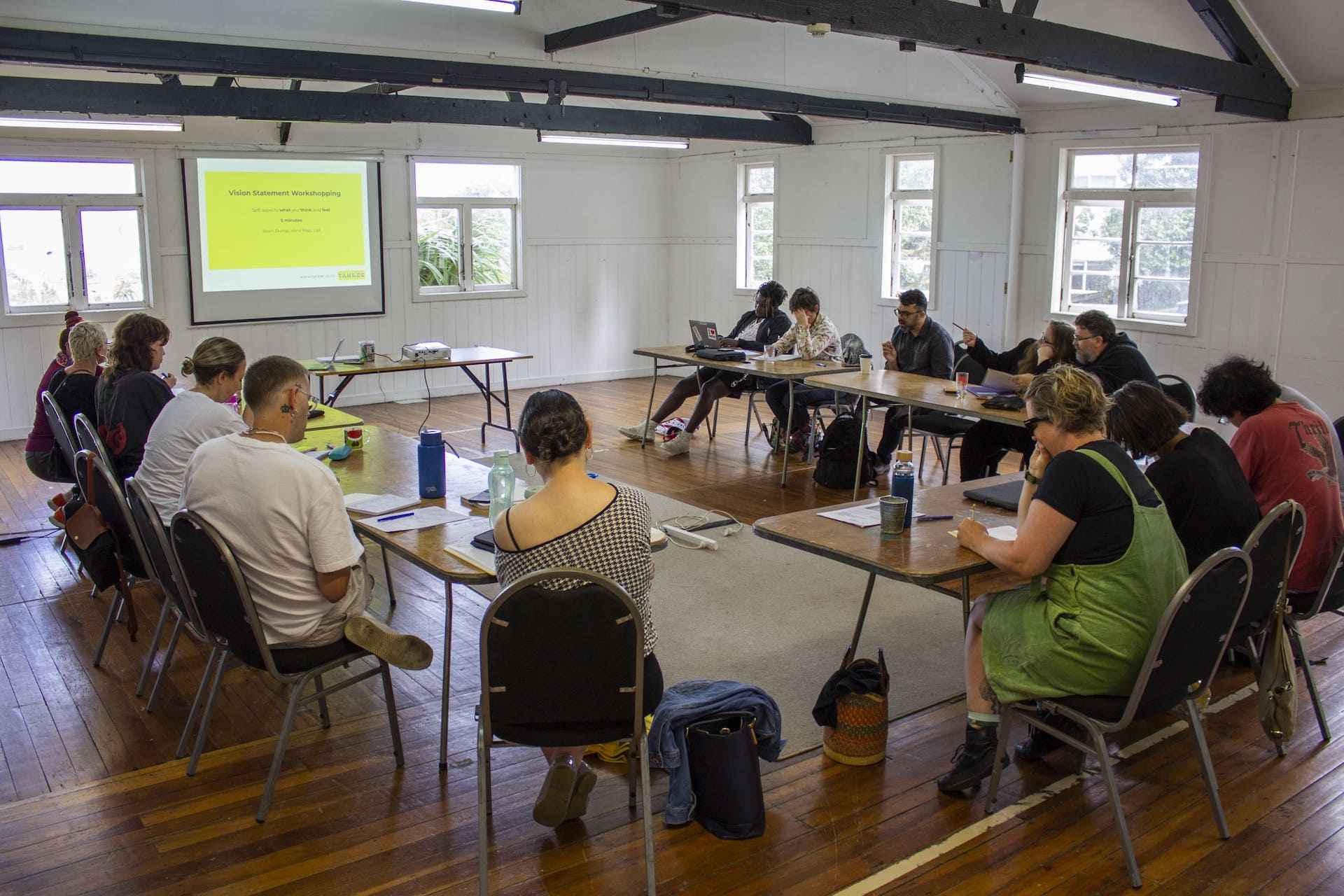
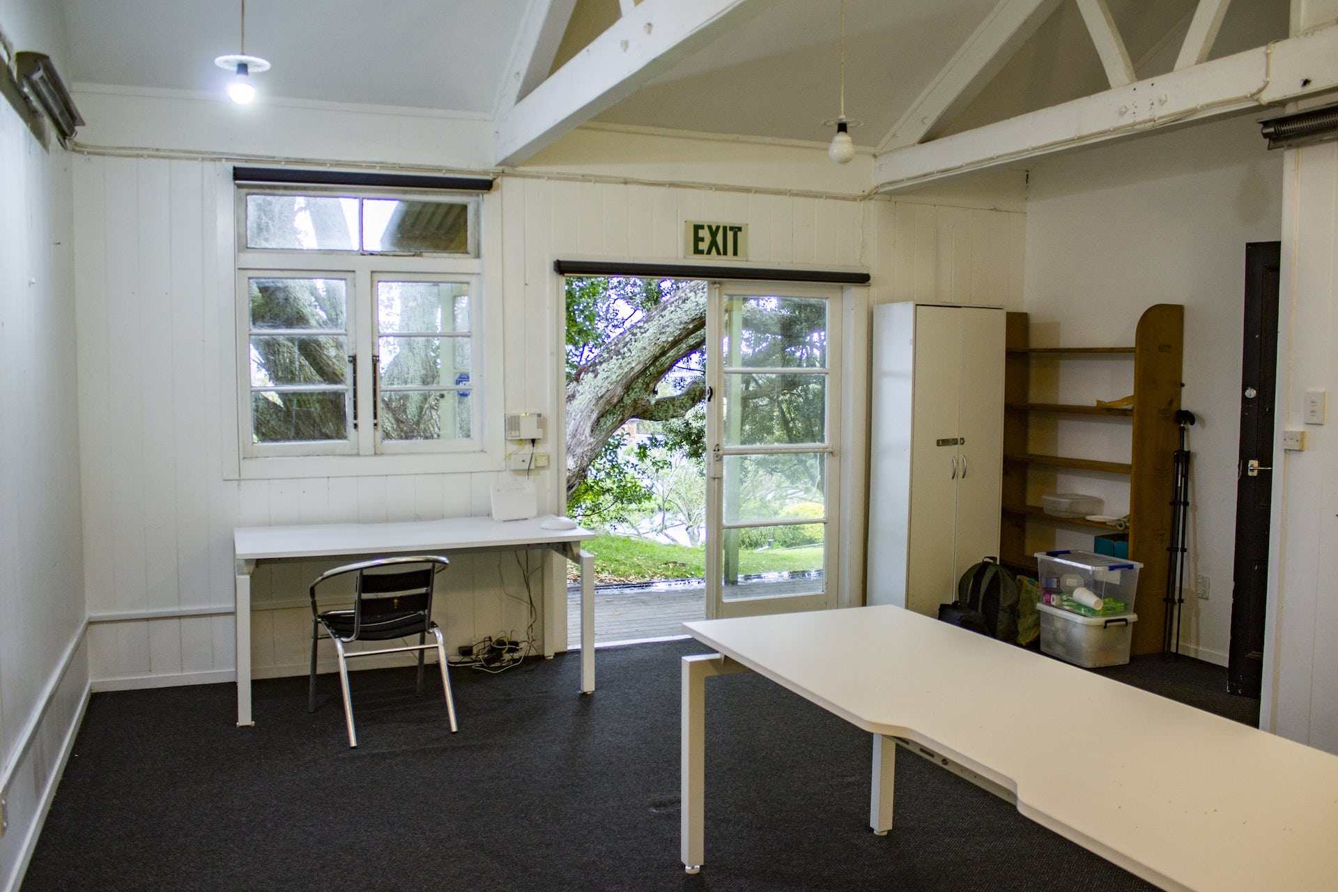
The Main Hall includes tables and chairs for up to 40 guests, and the Small Meeting Room includes tables and chairs for up to 12 guests.
Our spaces are suitable for:
- Workshops, Panel Talks, Seminars
- Yoga, Dance, Drama, Art Classes
- Pop-up Exhibitions, Book Launches, Markets
Both spaces are available for hire at $30/h (inc GST).
Make your booking below, or contact us at wharetoi@depot.org.nz or phone 09 963 2328 for further information and for recurring booking enquiries.
Please Note: A condition of use is that the facility and immediate outside area is a Smoke and Alcohol Free Zone.
